Bolles Trail
Bolles Trail
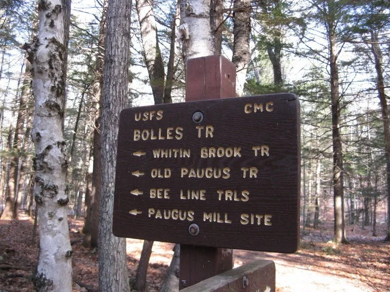
The Bolles Trail is a former road that ran between Tamworth and the Albany Intervale, through the valley between Chocorua and Mount Paugus. The trail runs from Fowlers Mill Road in Chocorua to the Kancamagus highway. Tradition says that the first white person who ever passed through these mountains was Mother Head, who upon learning of sickness and distress in the Intervale, put on her Native American snowshoes and all alone made her way through the forest to offer her help. The road was destroyed by a hurricane and later re-blazed as a trail by Frank Bolles. Since the hurricane, the Bolles Trail is sometimes referred to as the Lost Trail.
Directions to the Bolles Trail trailhead on Paugus Mill Road: Turn on to Chocorua Lake Road off of Route 16, and cross over the Narrows Bridge between Chocorua Lake and Little Chocorua Lake. Follow this dirt road for 1.0 mile and take a left fork up a hill onto Fowlers Mill Road. Follow Fowlers Mill Road for 2.4 miles to Paugus Mill Road, where you will see a sign for the Liberty, Bolles, and Brook Trails. Turn right onto Paugus Mill Road and follow it for a mile to the end where you will find a parking lot and the trailheads. Please respect private property on the way to the parking area.
Directions to the Kancamagus trailhead: The parking lot is located on the East end of the Kancamagus Highway (Route 112). The GPS Coordinates for the parking area are: N43° 59.398 | W071° 17.950 (elevation - 1,285').