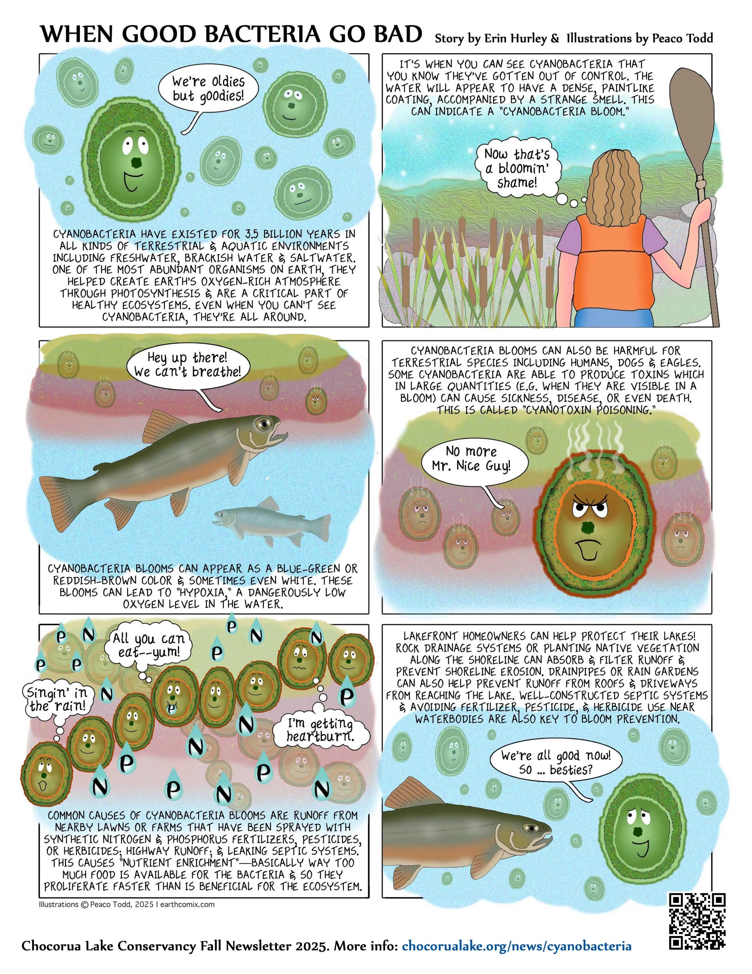
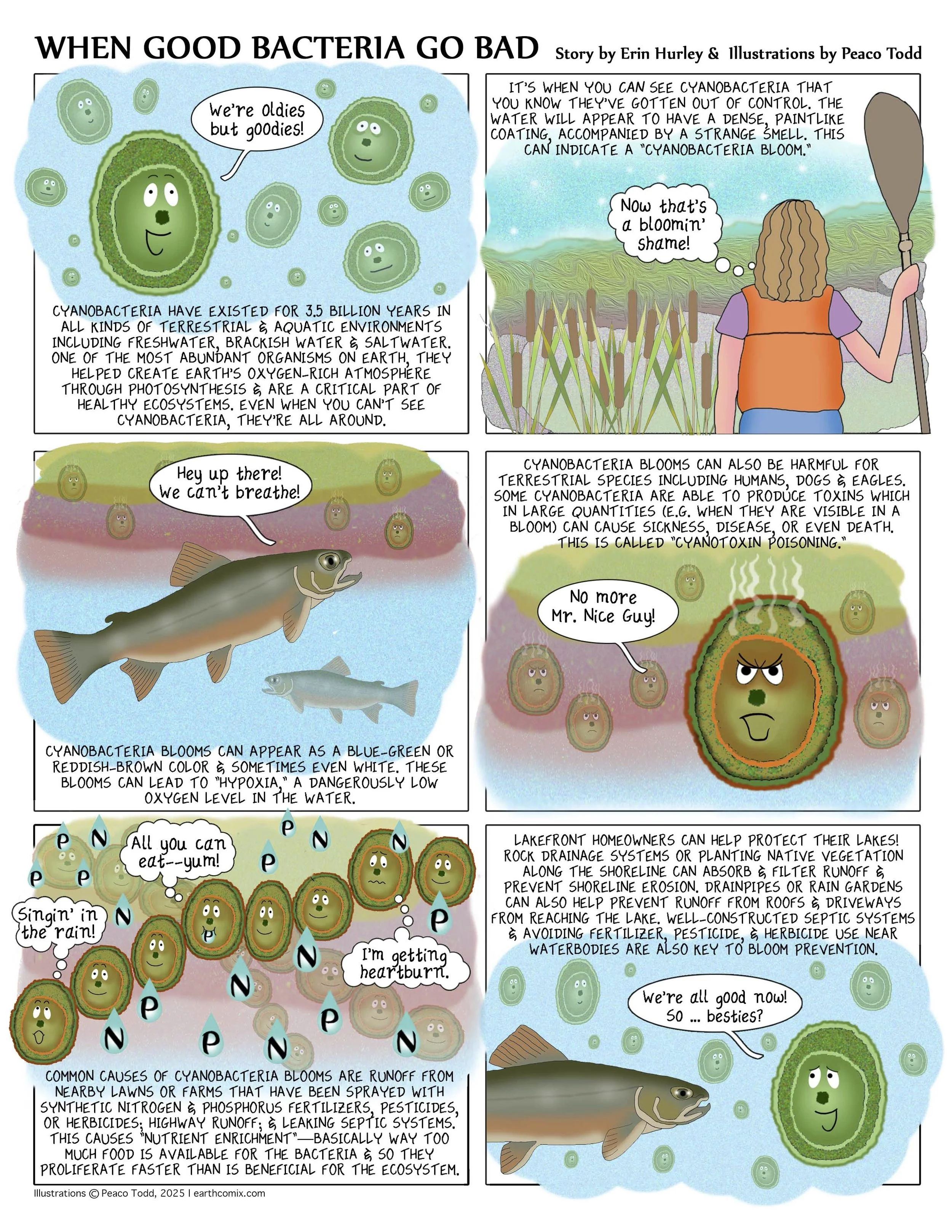
“The sun rises and sets on this lake, on the rocks and trees, on the boat houses and their invisible, wholly palpable histories, and on the water itself, on the looming, leafy greens, on the bridge, the darting insects, and on the splash of fish.”
Chocorua Lake is located in the town of Tamworth, New Hampshire, near Albany and Madison.
It is located along Route 16 in the Ossipee Lake watershed just south of the White Mountain National Forest. Most of Chocorua Lake is quite shallow with an average depth of 12 feet and a maximum depth of 30 feet.
Thanks to the efforts of Chocorua Lake Conservancy over the past 50 years, about 95 percent of the Chocorua Lake watershed is now protected through conservation covenants and easements that have preserved wooded buffers around the lake.
In the early 1970s, CLC persuaded the NH State Legislature to ban all motorboats from Chocorua Lake and successfully defended that ban in 1998.
In 2001, CLC was awarded a “Conservation Award of the Year” by the Carroll County Conservation District for our work on the “Berms & Swales” project, which resulted in a more than 80 percent reduction in phosphorus runoff into the lake.
From 2024–2026, CLC completed the Eastern Shoreline Restoration Project on an area of shore that was heavily eroded by human use and the more frequent large rain events brought on by climate change. This project improved soil health, protected the root systems of trees from soil compaction, improved aquatic and terrestrial habitat, enhanced the riparian shoreline ecosystem, and protected water quality by minimizing erosion and the risk of water contaminants from road runoff.
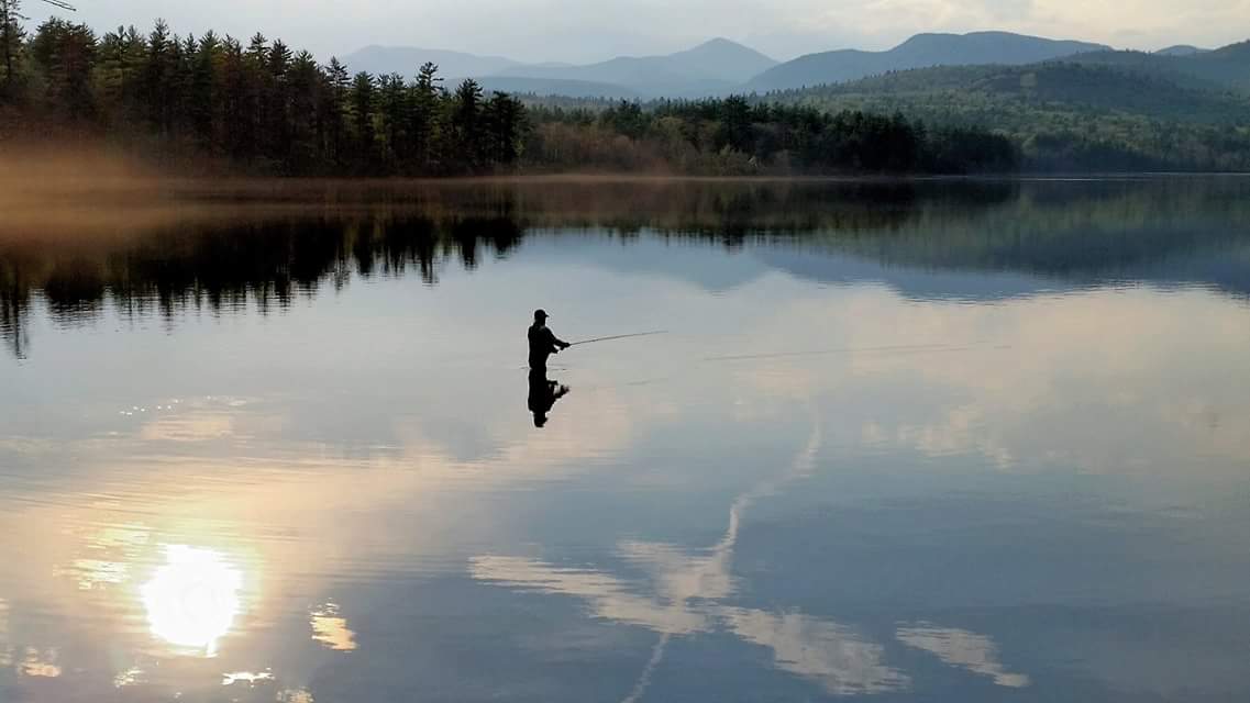
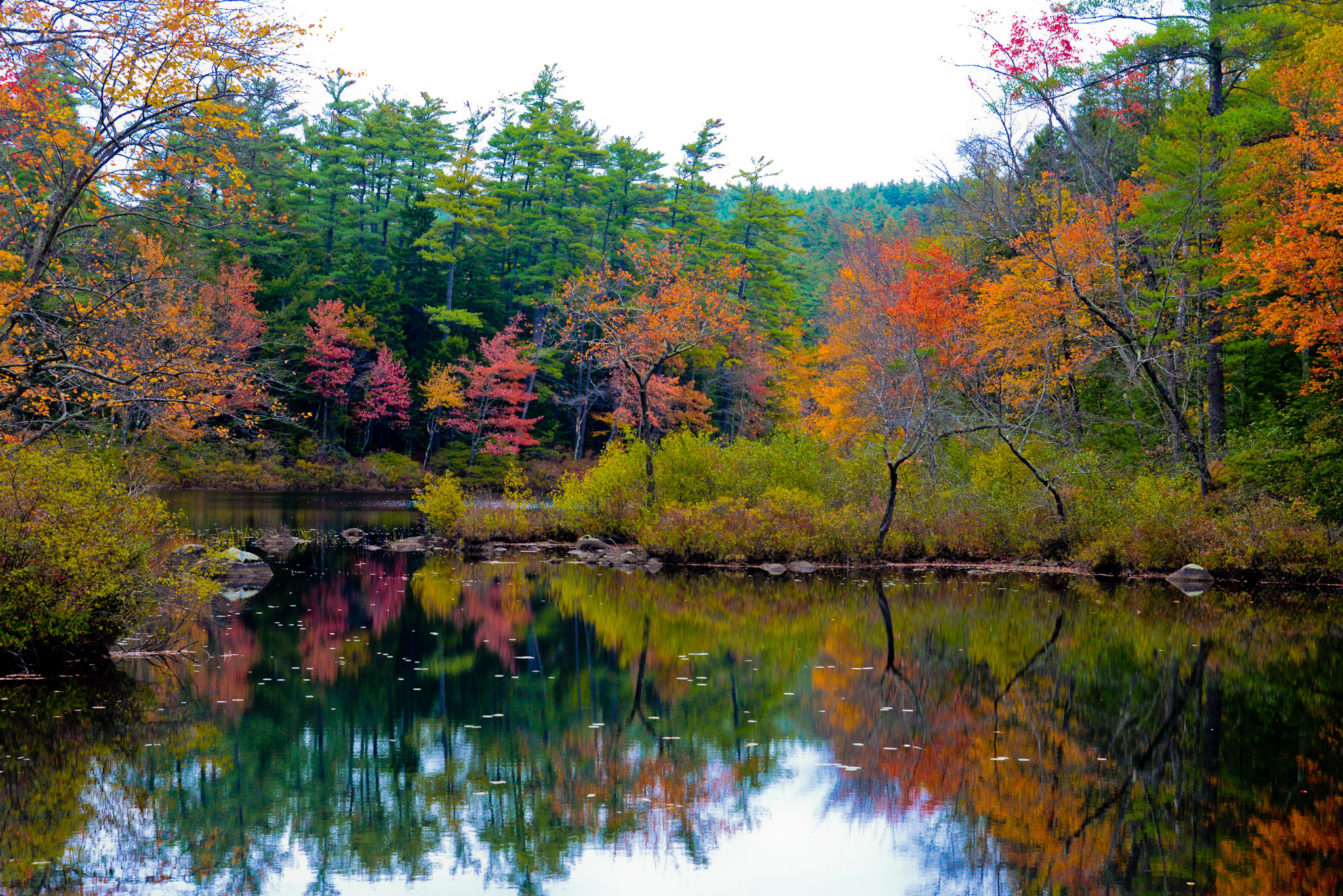
Fly Fishing on Chocorua Lake. | Thad Berrier
Based on recent water quality testing, Chocorua Lake is classified as an “oligotrophic lake.” Oligotrophic lakes are pristine and ideal for swimming and trout fishing. Such lakes are characterized by high water clarity, low nutrient concentrations, minimal levels of aquatic plant “weed” growth, and low algae concentrations. CLC has been tracking the water quality in Chocorua Lake since 1978 in partnership with the UNH Center for Freshwater Biology’s Lakes Lay Monitoring Program.


Visitors and local residents encounter no billboards or other commercial signs along this three-mile stretch of Route 16, nor do they see any houses along the shores of Chocorua Lake. Those who go boating on the lake can hardly see the structures around it—all houses and a few summer bath houses are set well back from the shore by common consent.

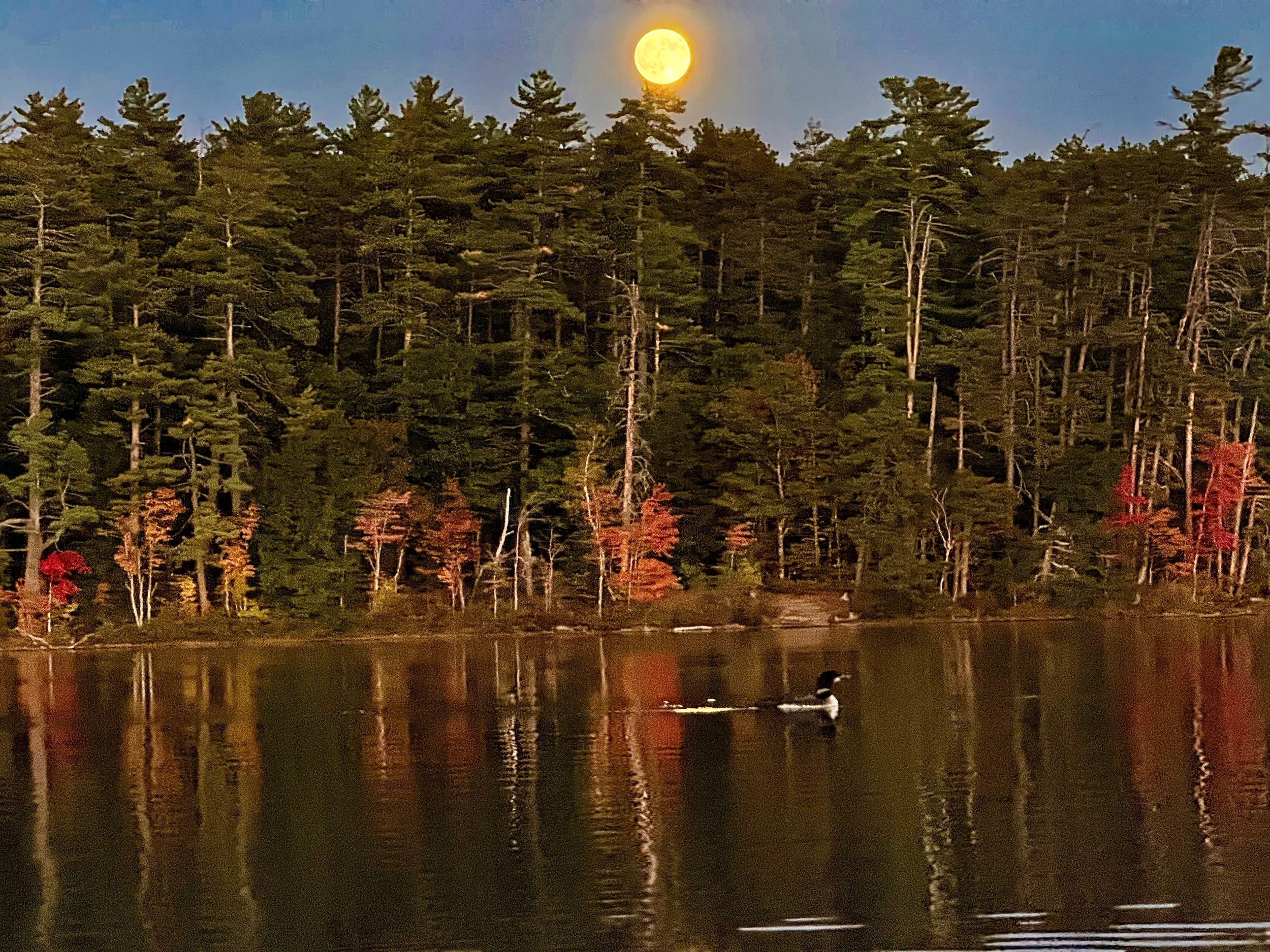
Tranquil Chocorua. | Alex Moot
At the south end of the lake is the much-photographed Narrows Bridge, and downstream from that is the Little Lake. Mount Chocorua (3,490 ft) dominates the views from the Narrows Bridge and from the highway.
CLC provides visitors with public access to Chocorua Lake at locations: a three-acre area known as the Grove at the south end of the lake, and a 17-acre area known as the Island on the east side of the lake. CLC also maintains the Tamworth Residents Area a quarter mile north of the Island.
Third and Fourth Lakes viewed from the dam.
Chocorua Lake is about a mile in length and a half a mile across at its widest part and covers just over 220 acres. Adding Little Lake and Third and Fourth Lakes brings the total area to about 265 acres. The main inflow into the lake is the Chocorua River from the north, which drains the south side of Mount Chocorua. Stratton Brook flows into the west side of the lake. The Chocorua Lake Basin watershed is 13.2 square miles of mostly protected forest.
For decades, the Tamworth Outing Club hosted sled dog races on Chocorua Lake and the surrounding hills. First run in 1937, the Tamworth Sled Dog race was the oldest sprint dog sled race in the country.
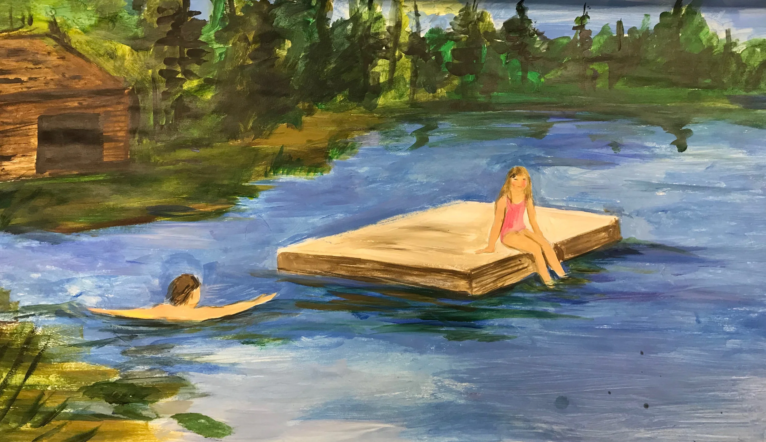
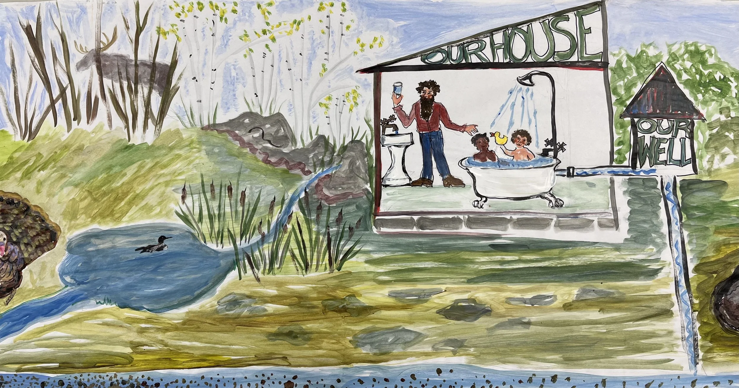
Banner: Chocorua Lake Crankie artists